send link to app
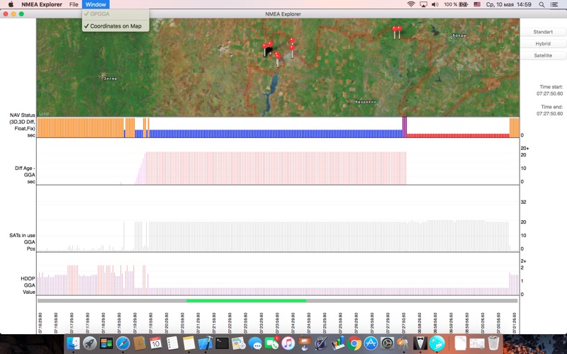
Launch NMEA files here for reviewing GPGGA strings.
Scrolling the context with geolocation: MAPs observation.
Supervision the detail of points on MAP & Graphics. For your convenience.
Likely, useful and clear interface.


